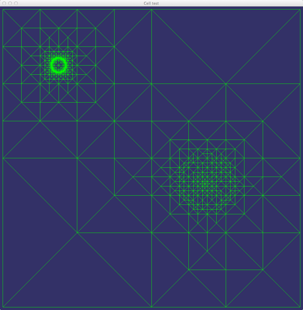
This is a simple synthetic map with a small pool in the north-west quadrant and a hill in the south-east (some of you may recognize this as the ground2 example from Project 3). The map consists of a single cell that has only one level of detail; here is a view of the mesh from above:
and here is its colormap
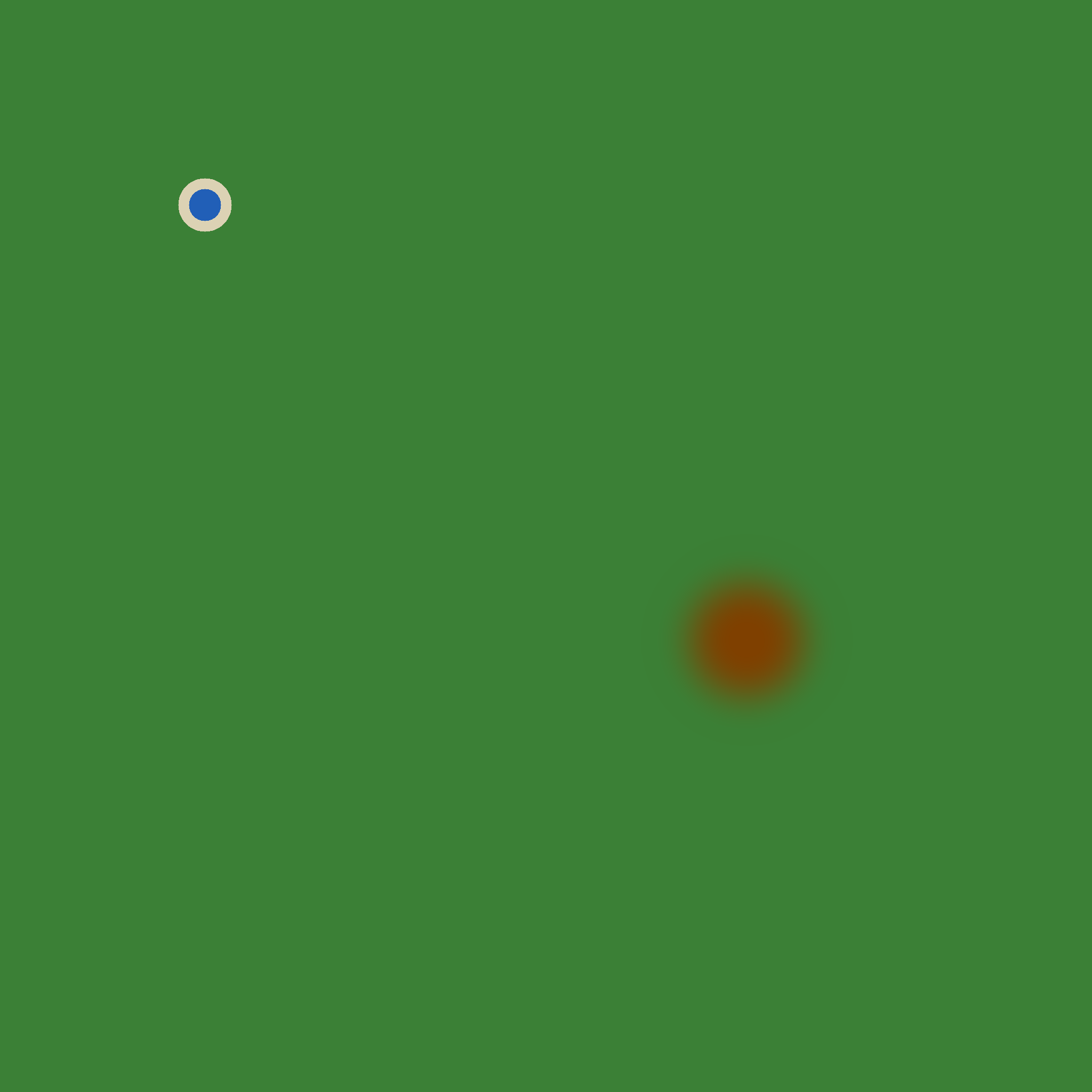
and normal map

The map also has a water mask.
The map is available here as a zip file (162,304 bytes). It will be available on the CSIL Macs with the path /data/test-map1.
Updated map with skirt fix and fog specification
Posted link to map zip file.
Posted original map description.